Choosing where to live in Missoula can feel exciting and a little overwhelming. Each neighborhood offers a different mix of housing, walkability, outdoor access, and commute convenience. If you want a clear, side‑by‑side sense of how areas compare, you’re in the right place. In this guide, you’ll learn what makes each neighborhood tick, how pricing stacks up against the county median, and where to find reliable resources for schools, trails, and transit. Let’s dive in.
How to use this guide
Missoula County’s average home value was about $552,436 as of late January 2026, according to Zillow. Recent local reporting also noted that Missoula’s median home price dipped in 2025 for the first time in years, and that inventory feels more normal than the ultra‑tight days of 2021–2022, though affordability is still tight in lower price bands. You can read that market context from Missoula Public Radio and the Montana Free Press.
Use the neighborhood snapshots below to narrow your list. Then verify live pricing with an MLS snapshot and confirm any school assignments with district tools. For boundary references and official neighborhood names, start with the City’s Neighborhoods map.
Missoula neighborhoods at a glance
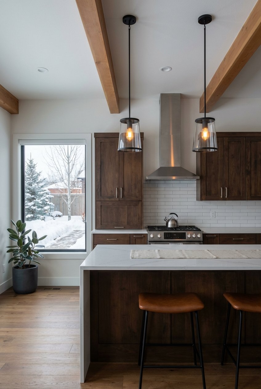
Downtown / Heart of Missoula
- Typical homes: Condos, lofts, small historic houses, and newer infill. Many early 20th‑century buildings alongside recent condo projects.
- Neighborhood vibe: High walkability with restaurants, coffee, and arts venues close at hand. Frequent community events at Caras Park.
- Walkability & transit: Among the most walkable parts of town. See a block‑level example on Walk Score.
- Trails & river: Direct access to the Clark Fork riverfront and the Kim Williams Nature Trail, a local favorite for biking and walking. Learn more from Rails‑to‑Trails.
- Schools: Within Missoula County Public Schools; verify exact property assignments through district tools or the NCES district list.
- Pricing frame: Central, walkable locations often command a premium vs. the county median. Use a current MLS pull for precise figures.
University District (near the University of Montana)
- Typical homes: Older craftsman houses, small single‑family homes, duplexes, and rental apartments. Some condominiums.
- Neighborhood vibe: Active and convenient to campus, with higher rental density and steady turnover.
- Walkability & transit: Generally walkable with good bus access to campus and downtown. Walkability varies block by block.
- Trails & river: Close to the Kim Williams Nature Trail and riverfront paths, with quick bike access into downtown.
- Schools: Boundaries can vary; verify with district tools or the NCES district list. For high school context, see the Hellgate High School profile on GreatSchools.
- Pricing frame: Renovated homes and well‑located properties can trend above broader city averages. Confirm with a dated MLS snapshot.
Rattlesnake (Upper and Lower)
- Typical homes: A mix of scenic single‑family homes, older cabins, and newer builds. Many lots offer a wooded feel, especially in the upper drainage.
- Neighborhood vibe: Quiet and outdoors‑oriented. Popular with buyers who want nature close to town.
- Walkability & transit: Primarily car‑dependent, with local paths connecting to parks.
- Trails & river: Trailheads into the Rattlesnake National Recreation Area are a major draw, with Greenough Park close by. Get a feel from Destination Missoula’s overview.
- Schools: Check property‑specific feeder schools using the district’s tools or the NCES district list.
- Pricing frame: Often among Missoula’s higher‑priced neighborhoods relative to the county median. Verify current data before you shop.
Northside / Westside and River Road
- Typical homes: Older single‑family houses, some rental properties, and pockets of redevelopment. Historic working‑class roots with a changing mix.
- Neighborhood vibe: Varied from block to block. Some areas are seeing infill and community projects.
- Walkability & transit: Mixed. Certain corridors are walkable and bike‑friendly; others feel more residential and car‑oriented.
- Trails & river: Portions connect to riverfront paths and local parks, offering easy recreation options.
- Schools: Verify assignments through the district or the NCES district list.
- Pricing frame: Often more attainable than high‑view or trailhead‑adjacent areas. Pull an MLS snapshot for current neighborhood medians.
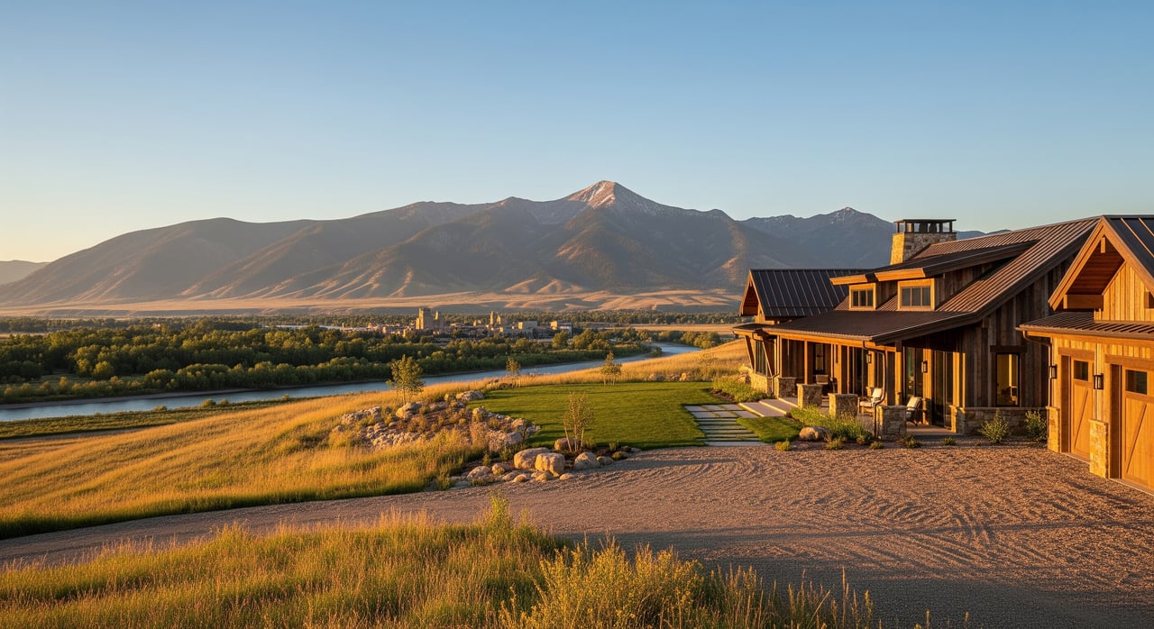
South Hills / Waterworks / Mount Jumbo area
- Typical homes: Hillside single‑family homes from mid‑century to newer remodels. Many properties feature city or valley views.
- Neighborhood vibe: Quiet residential streets with quick access to nature and trail networks.
- Walkability & transit: Primarily car‑dependent, though local parks and trailheads are close.
- Trails & river: Waterworks Hill and Mount Jumbo offer popular hikes and sweeping views. Some trails have seasonal wildlife closures; check posted notices. See trail context via Destination Missoula.
- Schools: Use district tools and the NCES district list to confirm.
- Pricing frame: View properties often command a premium over the county median. Confirm current pricing through the MLS.
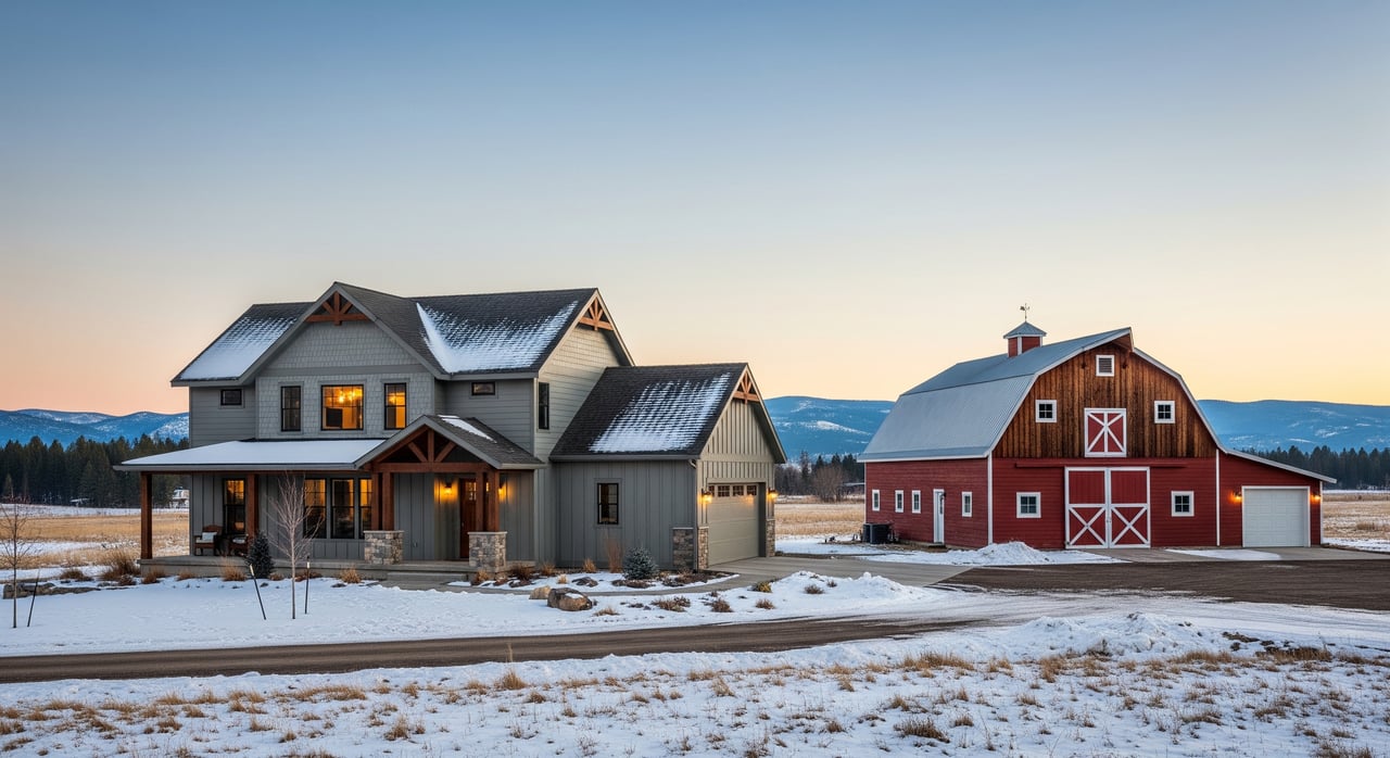
Mullan Road / Hellgate / Reserve corridor (growth area)
- Typical homes: Newer subdivisions with single‑family ranch plans and modern two‑story homes. Significant recent new construction.
- Neighborhood vibe: Convenient to Reserve Street shopping and services. Many buyers choose this area for newer homes and practical commutes.
- Walkability & transit: Sidewalks and shared‑use paths are common, though most errands will be by car.
- Trails & river: Local parks and bike paths are nearby; river access is a short drive.
- Schools: Many addresses feed into the Hellgate Elementary/Middle cluster. Always verify with district tools or the NCES district list.
- Pricing frame: Newer homes can list above some older in‑town areas. Check active and recent sales for a real‑time picture.
Grant Creek / Orchard Homes / Prospect
- Typical homes: Suburban single‑family neighborhoods built across several decades. Some larger lots and a comfortable residential feel.
- Neighborhood vibe: Quiet streets, proximity to schools and outdoor spaces, and straightforward commutes to services.
- Walkability & transit: Primarily car‑oriented with local parks and paths.
- Trails & outdoor: Easy access to nearby hills and, to the southwest, recreation areas like Blue Mountain and Maclay Flats.
- Schools: Confirm with district tools or the NCES district list.
- Pricing frame: Typically below the city’s most premium enclaves, yet varies by lot size, home age, and updates.
Riverfront / West Riverside / Bonner area
- Typical homes: A mix of riverfront condos and single‑family homes near the Clark Fork, plus rural‑feeling parcels in Bonner.
- Neighborhood vibe: Strong connection to the river and trails. A blend of in‑town convenience and outdoor access.
- Walkability & transit: Walkable segments along the river paths; many errands still by car.
- Trails & river: The Riverfront Trail and Kim Williams path are centerpieces for walkers and cyclists. See highlights from Rails‑to‑Trails.
- Schools: Verify through the district or the NCES district list.
- Pricing frame: River‑adjacent properties often command premiums vs. the county median. Confirm current values with the MLS.
Nearby Missoula County communities to consider
Lolo
- Housing & setting: Suburban‑rural mix a short drive south of Missoula. Many homes offer larger lots and easy access to the Bitterroot River and Travelers’ Rest State Park.
- Fit & access: Good for buyers seeking elbow room with a manageable commute into Missoula.
- Pricing frame: Often competitive compared to in‑city neighborhoods with similar home size. Confirm live numbers with an MLS snapshot.
Frenchtown
- Housing & setting: Rural residential community northwest of Missoula with quick I‑90 access. Known for larger lots and a small‑town feel.
- Fit & access: Appeals to buyers who want space and a fast highway commute.
- Pricing frame: Varies by acreage, home age, and outbuilding setup. Check current figures before touring.
Seeley Lake
- Housing & setting: Mountain‑valley community with lakeside and recreational properties. Strong lifestyle appeal for second‑home and year‑round recreation buyers.
- Fit & access: Best for those who value lake access and forest recreation over daily commuting to Missoula.
- Pricing frame: Wide range based on waterfront proximity, lot size, and cabin vs. year‑round home builds.
Huson and Clinton
- Housing & setting: Lower‑density options within commuting distance on I‑90. Mix of rural parcels and neighborhood pockets.
- Fit & access: For buyers who prioritize privacy and a quieter setting with regional access.
- Pricing frame: Often below in‑city medians, but land and outbuilding features can lift prices. Verify current data.
Quick neighborhood fit guide
- If you want the most walkable setting, explore Downtown and central riverfront corridors. Check block‑level walkability on Walk Score.
- If you want immediate trail access, look at Rattlesnake, Waterworks, and Mount Jumbo areas. Preview highlights via Destination Missoula and the Rails‑to‑Trails overview.
- If you want newer construction, tour the Mullan Road, Hellgate, and Reserve corridor subdivisions.
- If you want larger lots and a rural feel with city access, consider Lolo and Frenchtown, plus Huson and Clinton.
Practical checks before you buy
- Verify pricing live: Use the county median above as a context line, then rely on a date‑stamped MLS snapshot for neighborhood‑level numbers.
- Confirm school assignments: Zones and choice programs can change. Use district tools, the NCES district list, and profiles like Hellgate High School.
- Walkability and transit: Compare blocks on Walk Score and review Mountain Line routes on the transit site.
- Trails and river access: Review the Kim Williams Nature Trail and Riverfront paths via Rails‑to‑Trails. Check seasonal closures on Mount Jumbo and other areas.
- Wildfire and flood risk: Ask about defensible space and insurance. Local reporting underscores the role of fire seasons in planning. See context from the Missoula Current, and check FEMA flood maps.
- Taxes: Montana property taxes and local mill levies affect ownership costs. Confirm with the Missoula County assessor and your lender.
How to tour smart in Missoula
- Shortlist by lifestyle first. Decide if walkability, views, trails, or lot size matter most. That choice will narrow your map quickly.
- Stack‑rank neighborhoods. Pick two in‑town areas plus one nearby community to compare side by side.
- Preview commute patterns. Drive your likely routes at peak times. Reserve Street, Broadway, and I‑90 can feel different morning vs. evening.
- Check the parcel. Ask about wildfire mitigation, flood zones, and any HOA or city setbacks that affect future plans.
- Price with the MLS. Compare the past 90 days of nearby closed sales and active competition, not just list prices.
Ready to see homes that match your lifestyle and budget? Reach out to Ashley Inglis for a personalized neighborhood consult, live pricing, and a curated tour plan.
FAQs
What is the current median home price in Missoula County?
- Zillow reported an average value near $552,436 as of late January 2026; always confirm with a fresh MLS snapshot before you write an offer.
Which Missoula neighborhoods are most walkable for daily errands?
- Downtown and the central riverfront corridors rank among the most walkable; use block‑level checks on Walk Score to compare specific addresses.
How do I verify school assignments for a Missoula home?
- Use the district’s boundary tools and the NCES district list, then review profiles such as Hellgate High School.
Where can I live to be near trails and open space?
- Rattlesnake, Waterworks, and Mount Jumbo areas offer quick trail access; the Kim Williams Nature Trail and Riverfront path serve central neighborhoods. See highlights via Rails‑to‑Trails.
Is there much new construction in Missoula?
- Yes. The Mullan Road, Hellgate, and Reserve Street corridor features many newer subdivisions and ongoing building; verify current availability and pricing with an MLS check.
What should I check about wildfire or flood risk before buying?
- Ask for wildfire defensible‑space guidance, review parcel‑level insurance requirements, consult FEMA flood maps, and see local context from the Missoula Current.